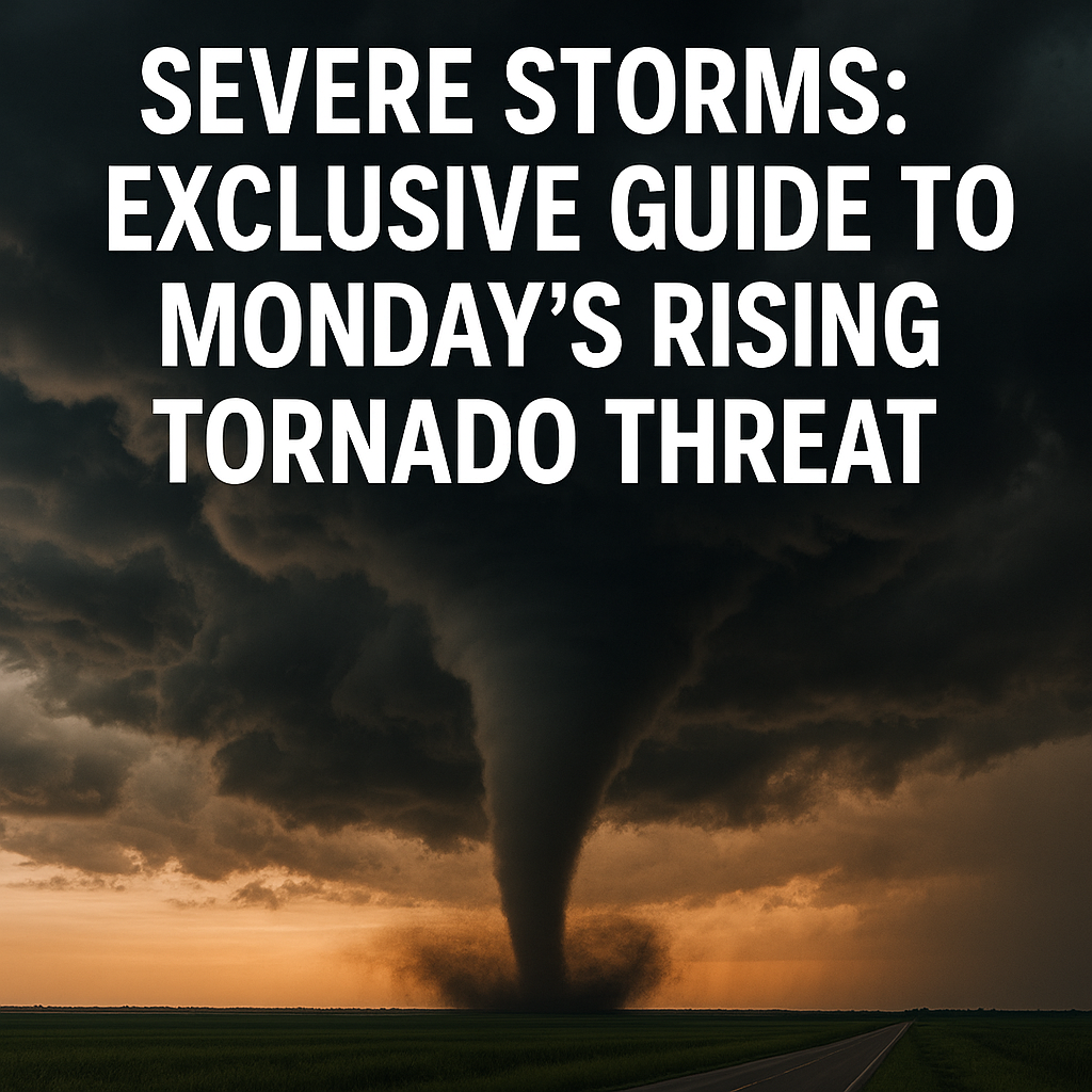
Severe Storms: Exclusive Guide to Monday’s Rising Tornado Threat
Severe storms are forecasted to intensify on Monday, bringing with them an elevated risk of tornadoes across multiple regions. The National Weather Service has issued warnings and watches indicating that conditions are becoming increasingly favorable for tornadic activity. This exclusive guide provides a comprehensive look at the factors driving this rising tornado threat, the areas most at risk, and what you can do to stay safe when the skies turn dangerous.
Understanding the Factors Behind Monday’s Rising Tornado Threat
Tornado formation depends on a combination of atmospheric conditions, and Monday’s severe storm setup is one of those rare perfect storms. A strong cold front sweeping across the central United States will collide with warm, moist air originating from the Gulf of Mexico. This clash creates instability in the atmosphere, often a precursor for the development of severe thunderstorms capable of spawning tornadoes.
Wind shear, or the change in wind speed and direction with height, is another critical ingredient fueling the risk. Meteorologists are closely monitoring this parameter, as its presence enhances the rotation within storm cells, increasing the likelihood that tornadoes will form. The synergy of these meteorological factors has prompted several Tornado Watches across parts of the Plains and Midwest, signaling the need for heightened awareness.
Which Areas Face the Highest Risk?
While tornadoes can occur in many places, Monday’s threat is focused primarily on regions stretching from eastern Kansas through Oklahoma and into Arkansas and the Missouri Bootheel area. Urban centers such as Tulsa and Springfield are under heightened alert due to their proximity to the storm track.
It’s essential for residents to have multiple ways to receive weather warnings. Local TV stations, weather apps, and emergency alert systems are crucial for receiving timely updates. The Tornado Watches and Warnings serve different purposes: a Watch means conditions are favorable for tornadoes, while a Warning means a tornado has been spotted or indicated by radar and immediate action should be taken.
Signs to Watch For: How to Recognize a Tornado
Even with modern technology, understanding visual and auditory clues remains critical. If you find yourself outdoors or in an unfamiliar place when storms approach, look for signs like:
– A dark, greenish sky, which often precedes severe storms.
– A large, dark, rotating cloud base or funnel cloud descending from the sky.
– A loud, continuous roar similar to a freight train, unlike the intermittent sounds typical of regular thunder.
Remember, not all tornadoes are accompanied by a visible funnel, and many form under rain or hail that obscures visibility. If warnings are issued, do not wait for these signs; take shelter immediately.
Preparing Your Home and Family for Severe Weather
Preparation is key to reducing the risk of injury during severe storms. Start by assembling an emergency kit that includes water, non-perishable food, flashlights, batteries, first aid supplies, and important documents. Mobile phone chargers and weather radios with battery backup can help maintain access to vital information if power outages occur.
Identify the safest place inside your home—usually a basement or an interior room on the lowest floor without windows. Practice tornado drills with your family so everyone knows where to go and what to do in an emergency. Schools and workplaces should also have clear severe weather response plans.
What to Do When a Tornado Warning Is Issued
If you hear that a tornado warning has been issued for your area, take immediate action:
1. Move to your predetermined safe space, away from windows.
2. Protect your head with something sturdy like a helmet, sleeping bag, or heavy blankets.
3. Avoid vehicles and mobile homes, which are especially vulnerable to tornado winds.
4. Stay informed by listening to live updates until officials declare the danger has passed.
If caught outside or in a vehicle, try to find a low-lying area such as a ditch to lie down flat while covering your head. Do not try to outrun a tornado in a car, as they can change directions unexpectedly and move faster than most vehicles.
After the Storm: Safety and Recovery Tips
Once the storm has passed, remain cautious. Tornadoes can cause downed power lines, gas leaks, and unstable structures. Do not enter damaged buildings until authorities deem them safe. Report any hazards to emergency services promptly.
Helping neighbors, especially the elderly or disabled, can be vital in the aftermath. Having a family communication plan established prior to storms will help you reconnect if separated. Documentation of damage through photos may be necessary for insurance claims.
Staying Ahead of Severe Storms in the Future
Weather patterns are unpredictable, but technology and preparedness can save lives. Following trusted meteorological sources, signing up for local alerts, and understanding the risks enhances your ability to respond quickly.
While meteorologists continue to refine tornado prediction models, community awareness and personal readiness remain the best means of protection against severe storms and the dangers they bring.
—
Monday’s rising tornado threat is a stark reminder of nature’s power and the importance of vigilance. The conditions expected could produce dangerous weather capable of significant destruction, but informed action can mitigate harm. Stay alert, stay informed, and be ready to act if the situation unfolds in your area.